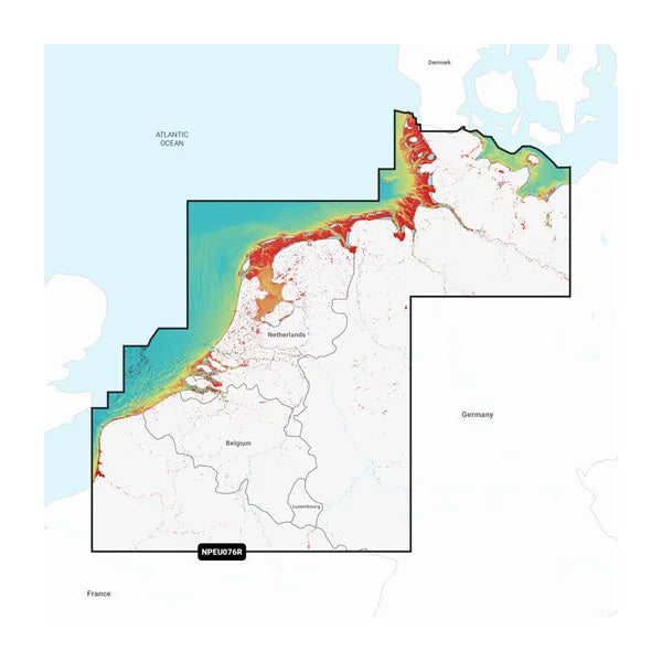
Navionics Platinum+ EU076R Benelux & West Germany Digital Nautical Chart Regular
Navionics Platinum+™ – Premium maps for the highest demands
For those who want more: Navionics Platinum+™ offers the highest performance in digital navigation. Whether on the high seas, near the coast, or on inland waters, this premium SD card offers you razor-sharp map details, modern features, and innovative views for a safe and precise cruising experience.
Your benefits with Navionics Platinum+™:
-
Ultra-precise depth maps
The SonarChart™ HD data shows you the structure of the bottom with depth contours in 50 cm grids – perfect for route planning or targeted fishing. -
Individual routes at the touch of a button
The Dock-to-Dock Autorouting feature⁴ automatically creates an optimal route based on your boat data and water information – including precise guidance through narrow passages, shallow waters, and harbors. -
Premium views for maximum overview
Explore waters with realistic relief shading , satellite image overlays , 3D views and aerial photography – ideal for complex areas or unknown moorings. -
Adjust maps in real time
With SonarChart™ Live you can record your own maps while you are sailing – ideal for new or dynamic areas. -
Shallow water shading & target depths
Identify potential danger areas or interesting fishing spots at a glance thanks to individually adjustable shading functions. -
Use local knowledge
With the Navionics Boating App and Community Edits, you can benefit from useful tips and real-time information from other boaters. -
Always up to date
Thanks to the Navionics® Chart Installer software or the wireless Plotter Sync⁵ connection, you can easily update your charts – daily updates included (1 year included with purchase).
Product details at a glance:
-
Worldwide coverage available
-
Card format: MicroSD™
-
Includes 1 year of map updates (renewable with subscription)
-
Compatibility depends on the chartplotter model²³
Important instructions:
¹ Based on the highest global sales of nautical charts in 2020
² Platinum+ maps are not compatible with Garmin chartplotters
³ Not all chartplotters support all functions – please check compatibility
⁴ Automatic route planning is intended to facilitate navigation but does not replace responsible route guidance
⁵ Plotter Sync requires a compatible smartphone, the Navionics app and an active map subscription with the same coverage area